Satellitics
Mapping terrains to reveal architectonic strategies for Exposition Park site development in Los Angeles.
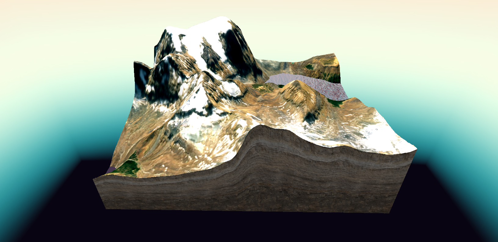
Interpreting Topographic Landscapes
“Nature is no longer what is embraced from a far away point of view where the observer could ideally jump to see things “as a whole”, but the assemblage of contradictory entities that have to be composed together.” [Bruno Latour, Waiting for Gaia]

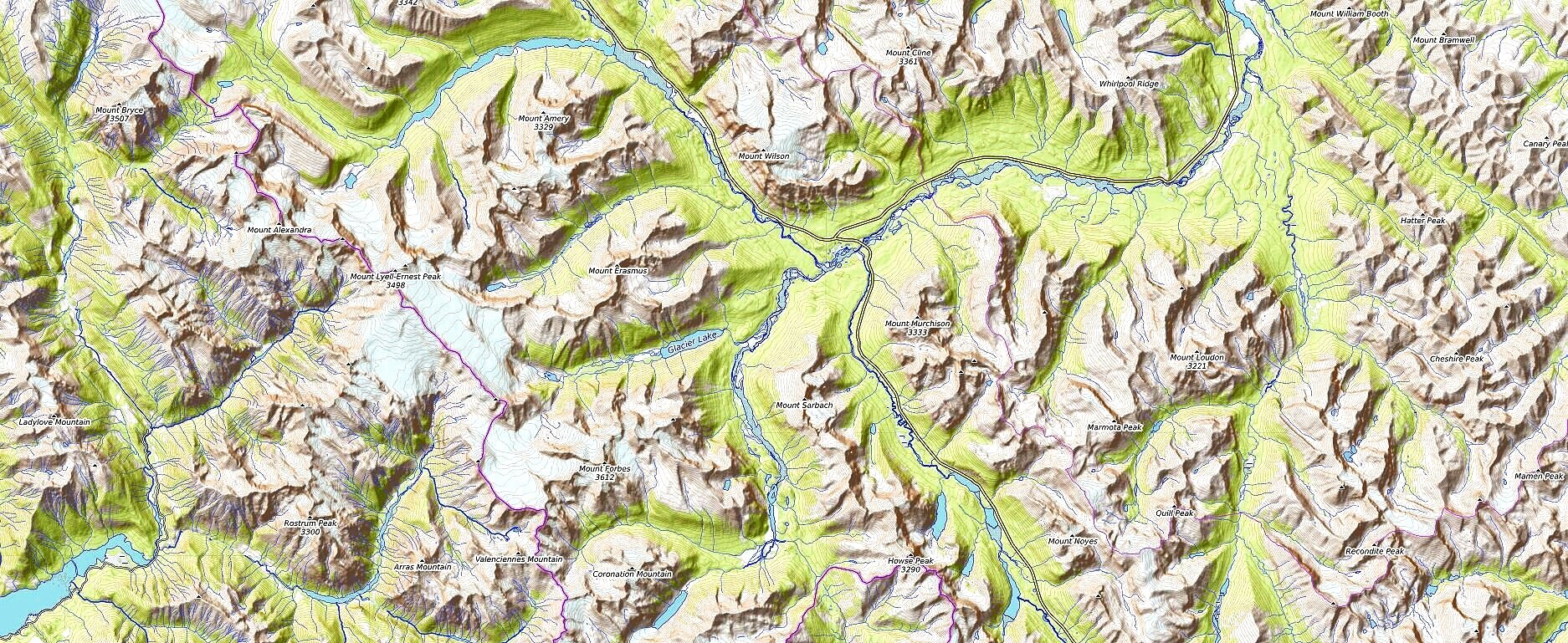
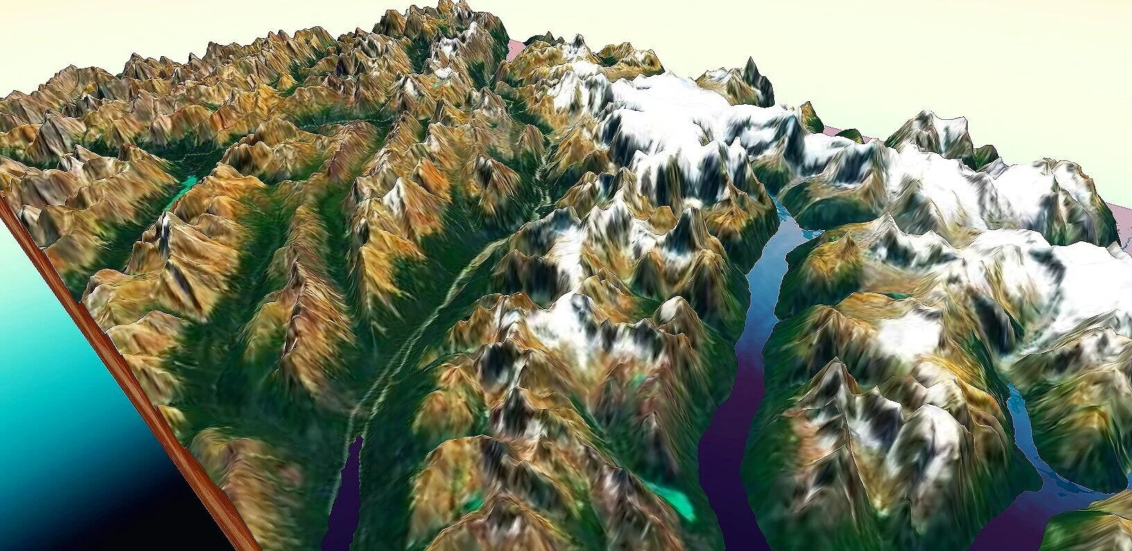
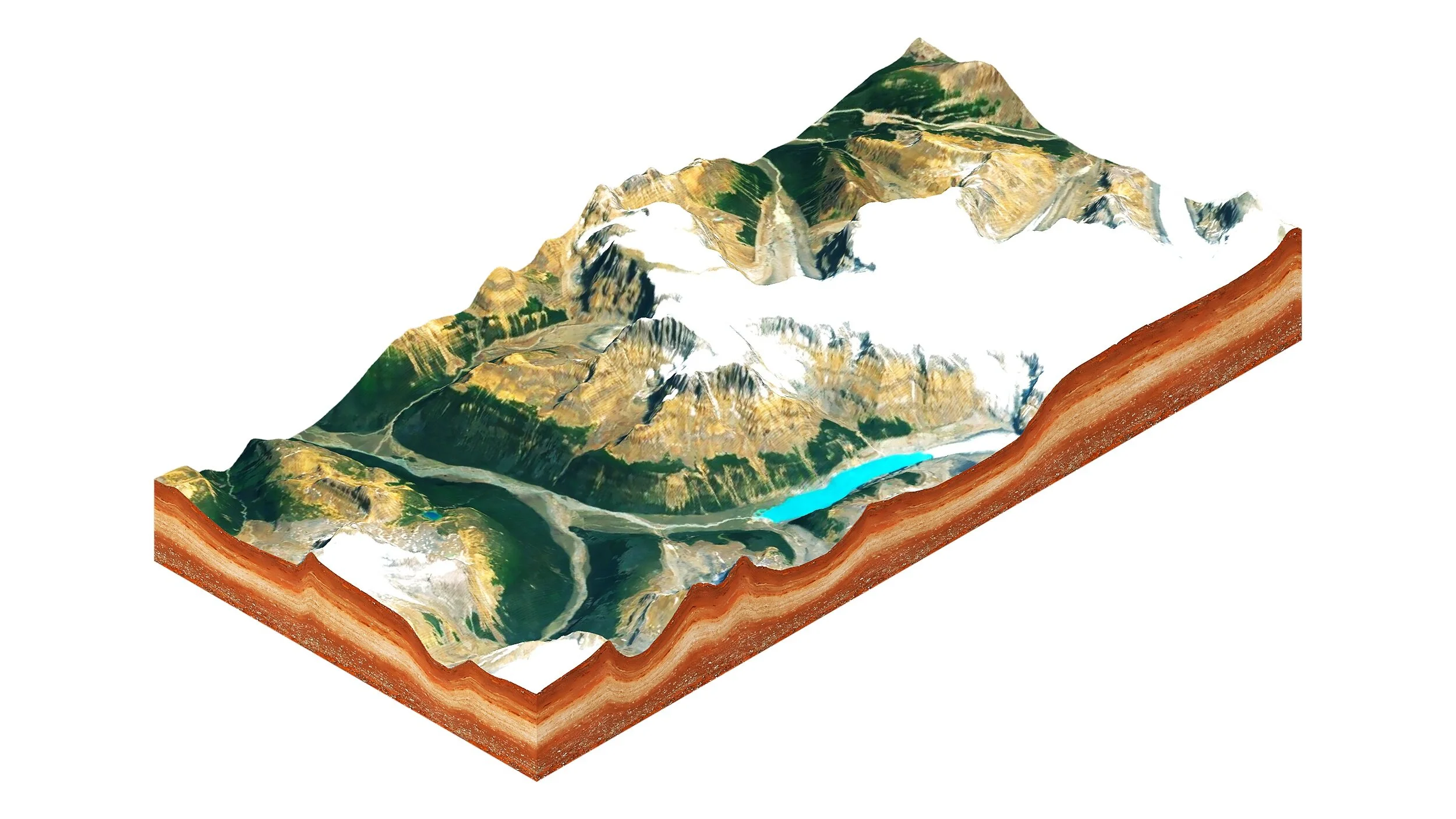
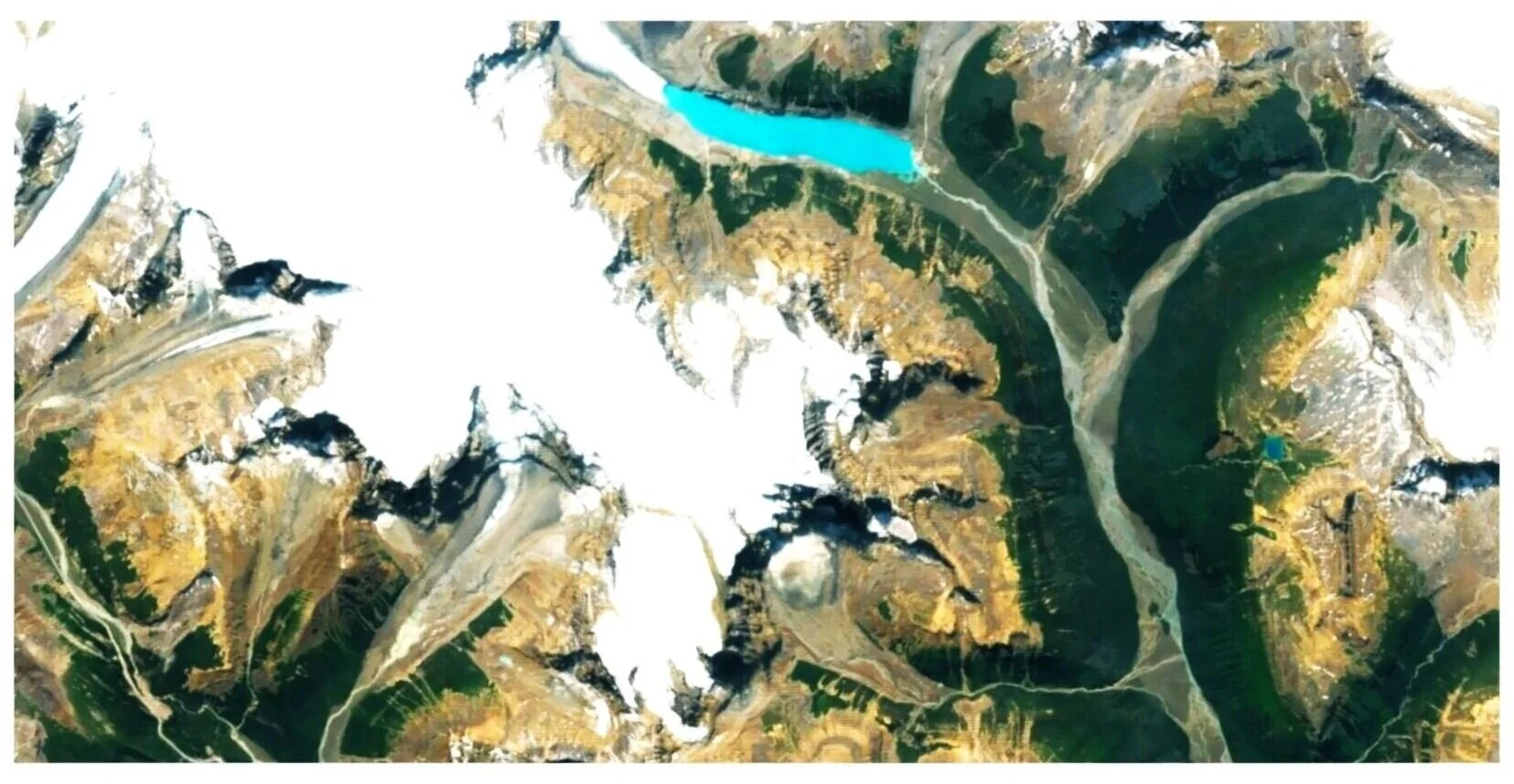
Plan View of Mountainous Terrain in British Columbia
Mountains and Valleys of British Columbia explored through massing models and height analysis.

Relationship of water levels to terrain uncovered through terrain studies.

Reinventing Topographic Surfaces in Architecture
Topographic Landscape utilized for the development of site analytics and diagrammatic studies
Plan View of Topographic Landscape

Elevation of Topographic Landscape
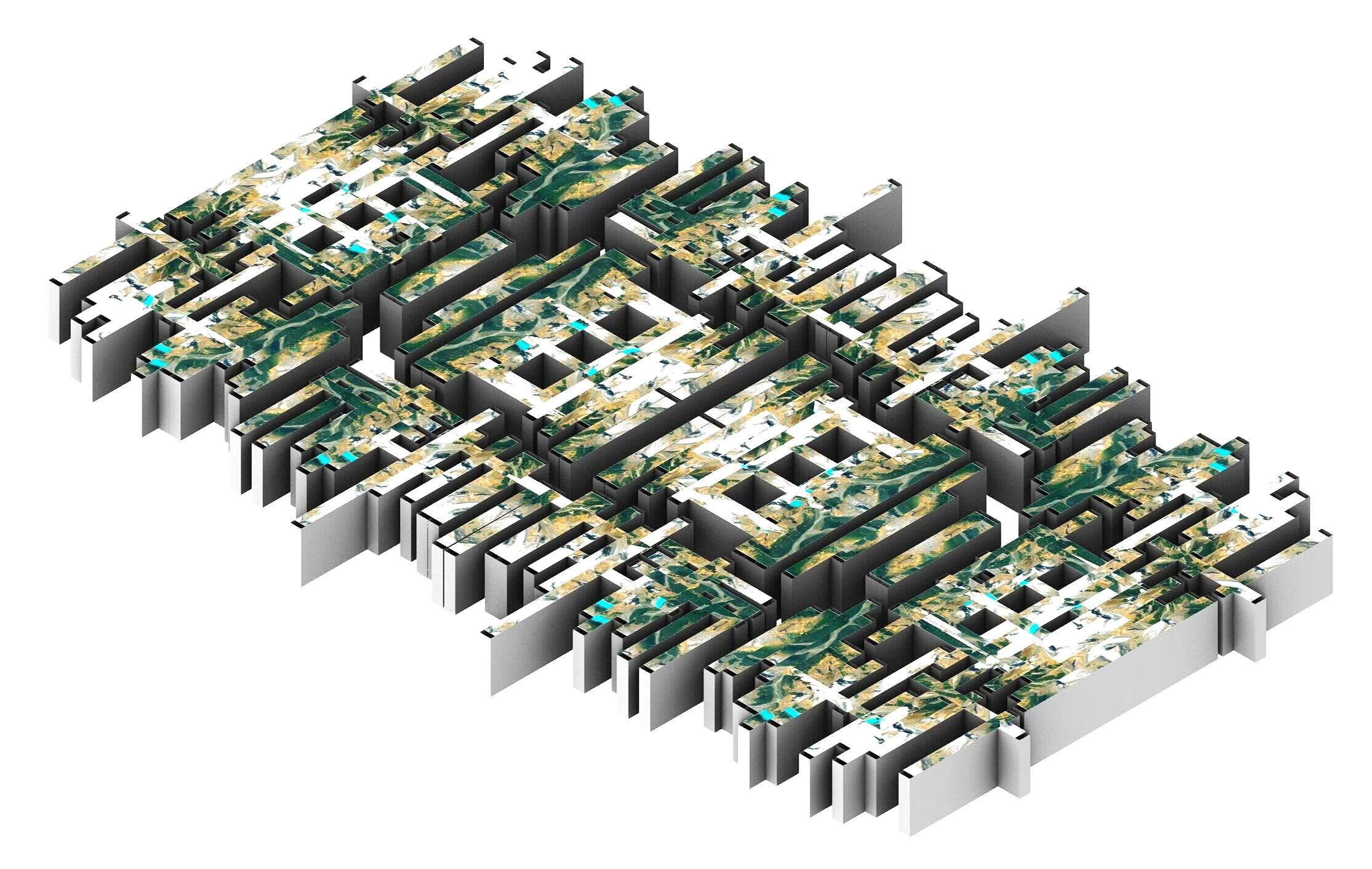
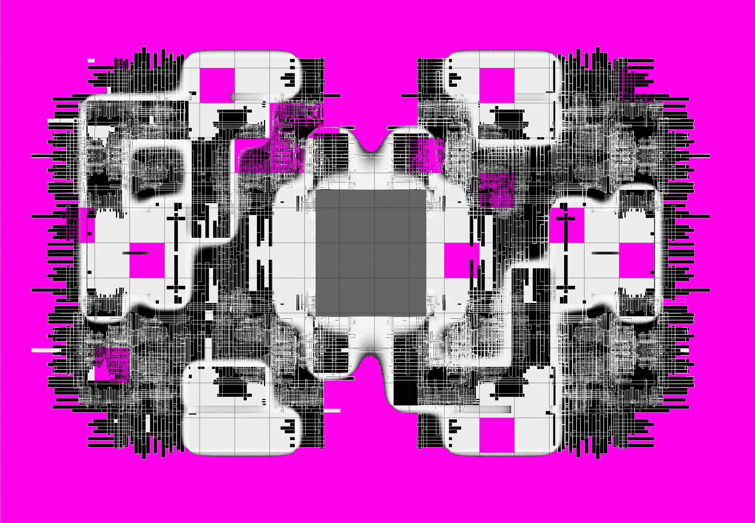
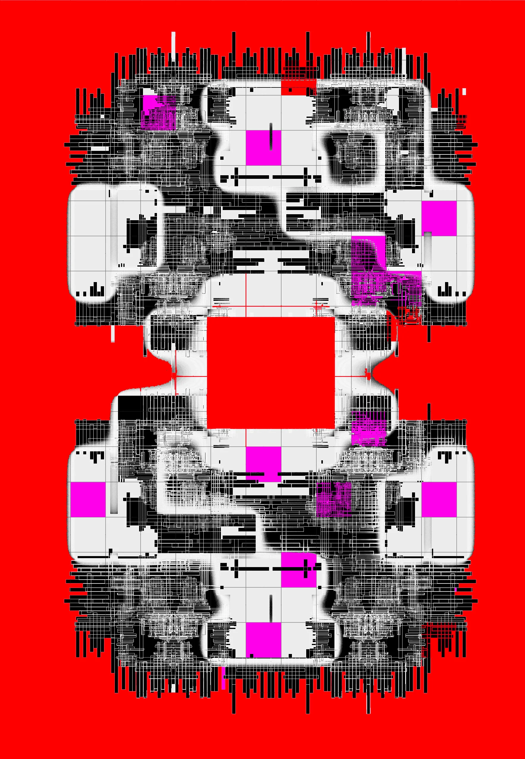
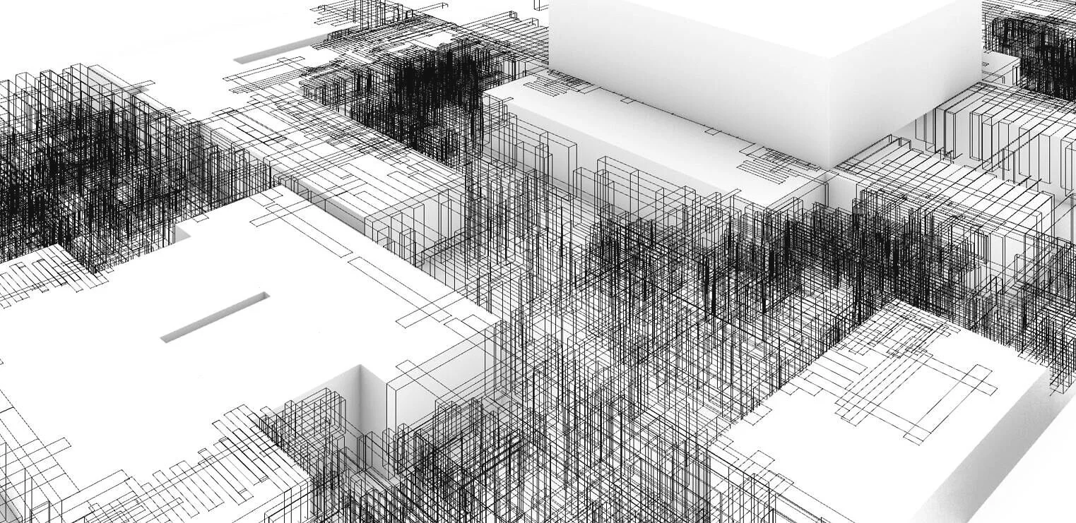
Topo Surfaces to Massing Models
Transforming Topographic Surface into Architectural Massing Models for Exposition Park Site Strategy that explores the tension between the organics of topography and the regimented systemization of gridded structure.
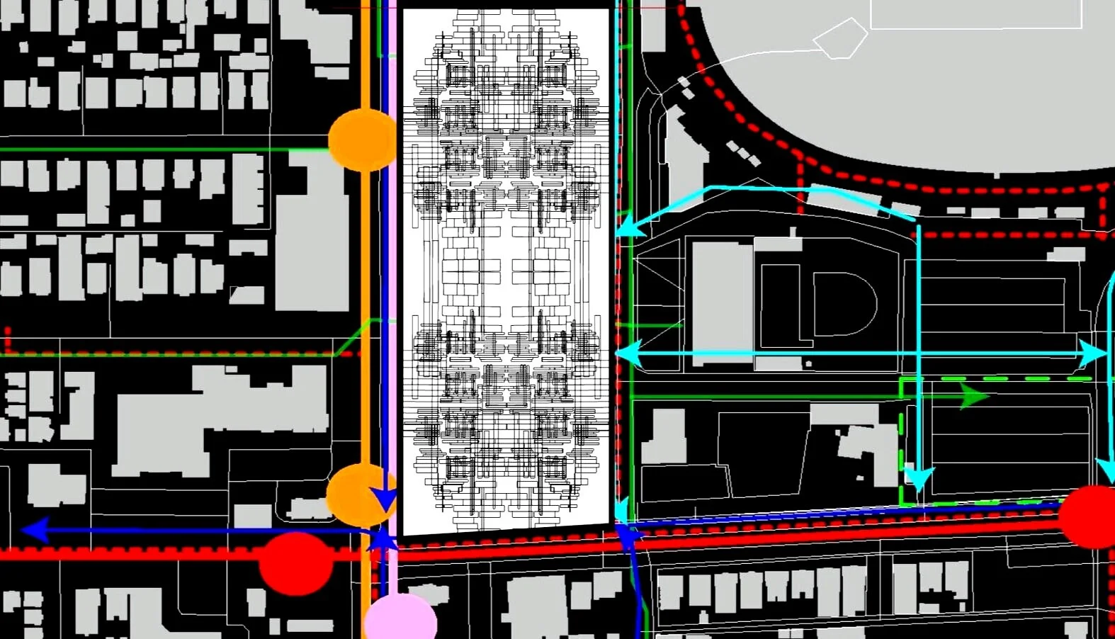
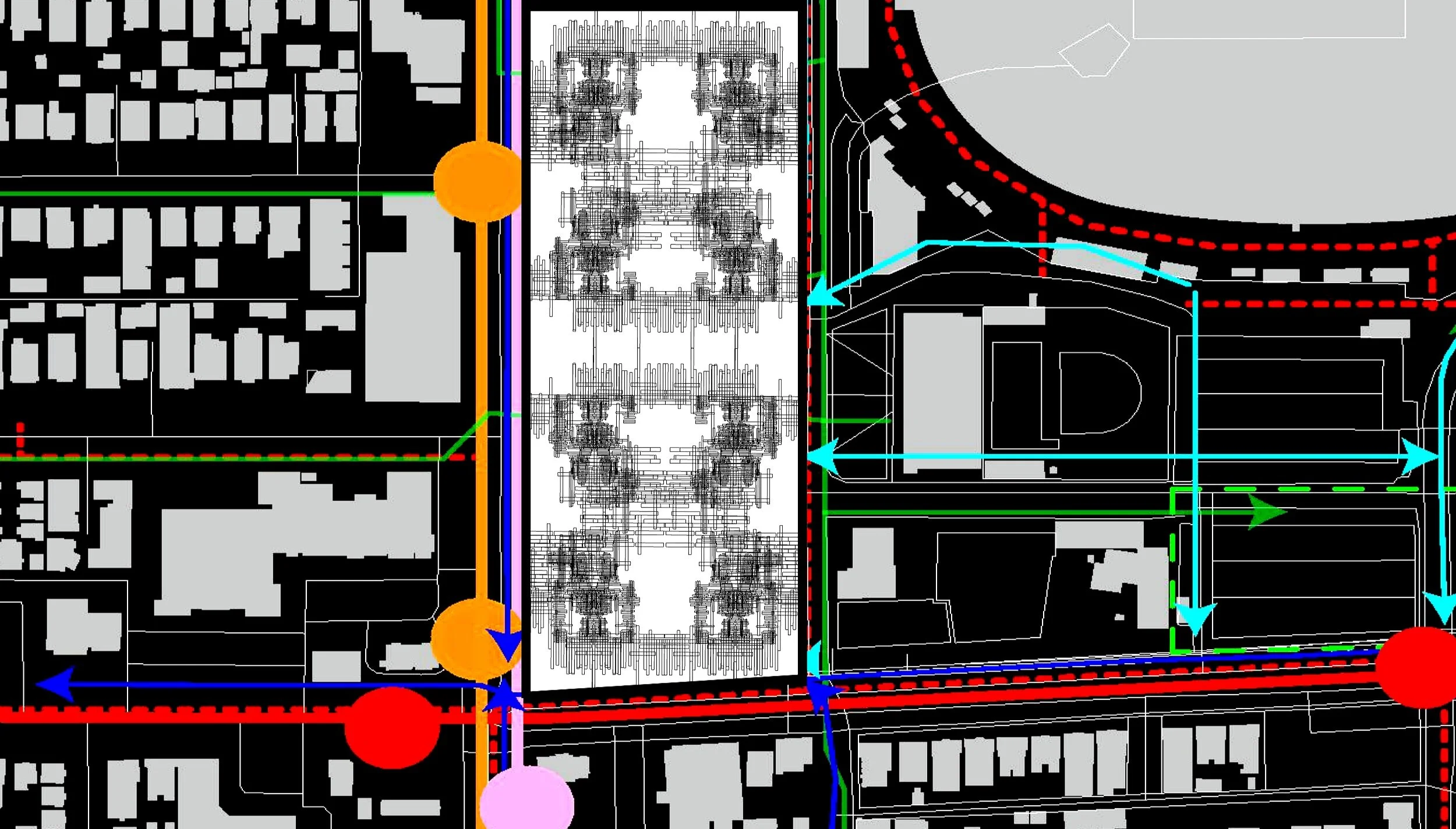
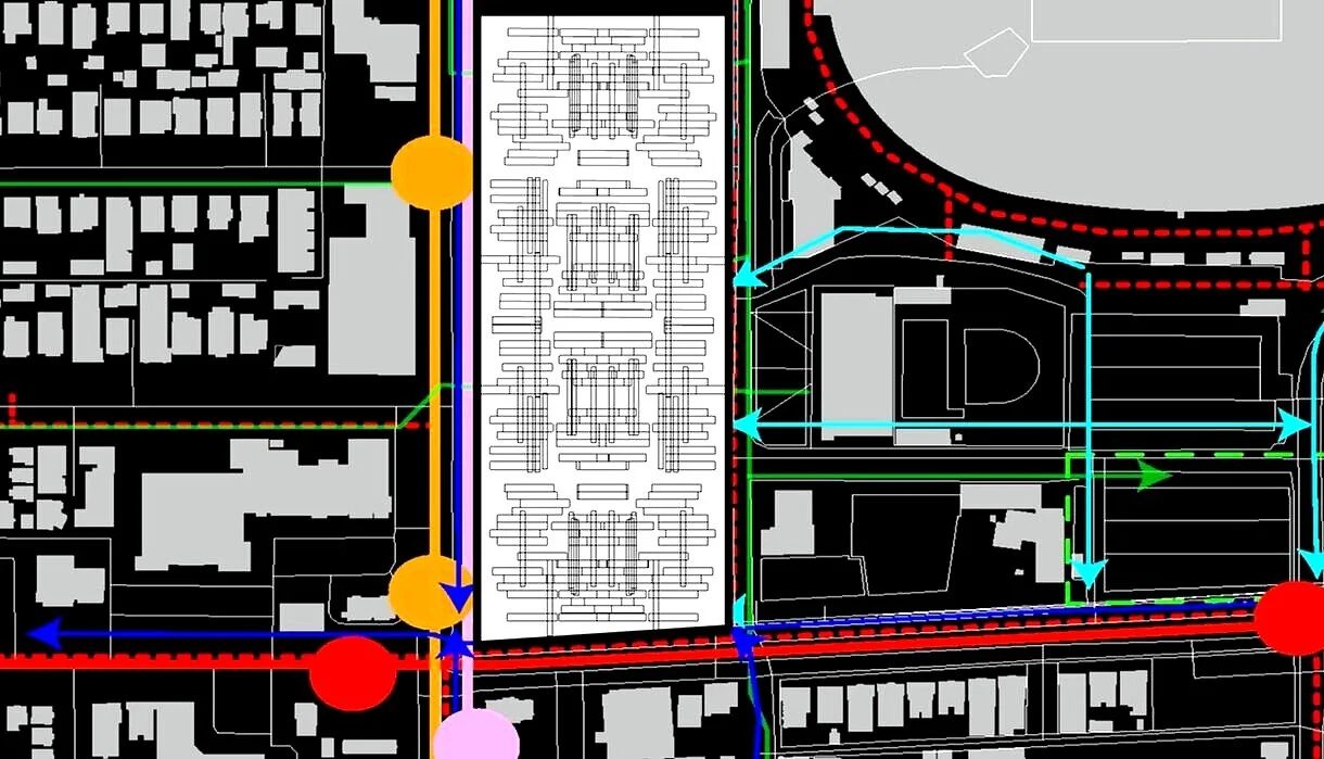
Site Analysis + Strategem
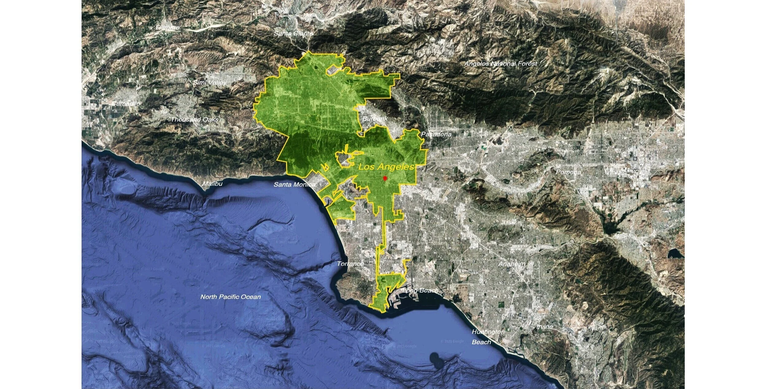
Exposition Park, Los Angeles
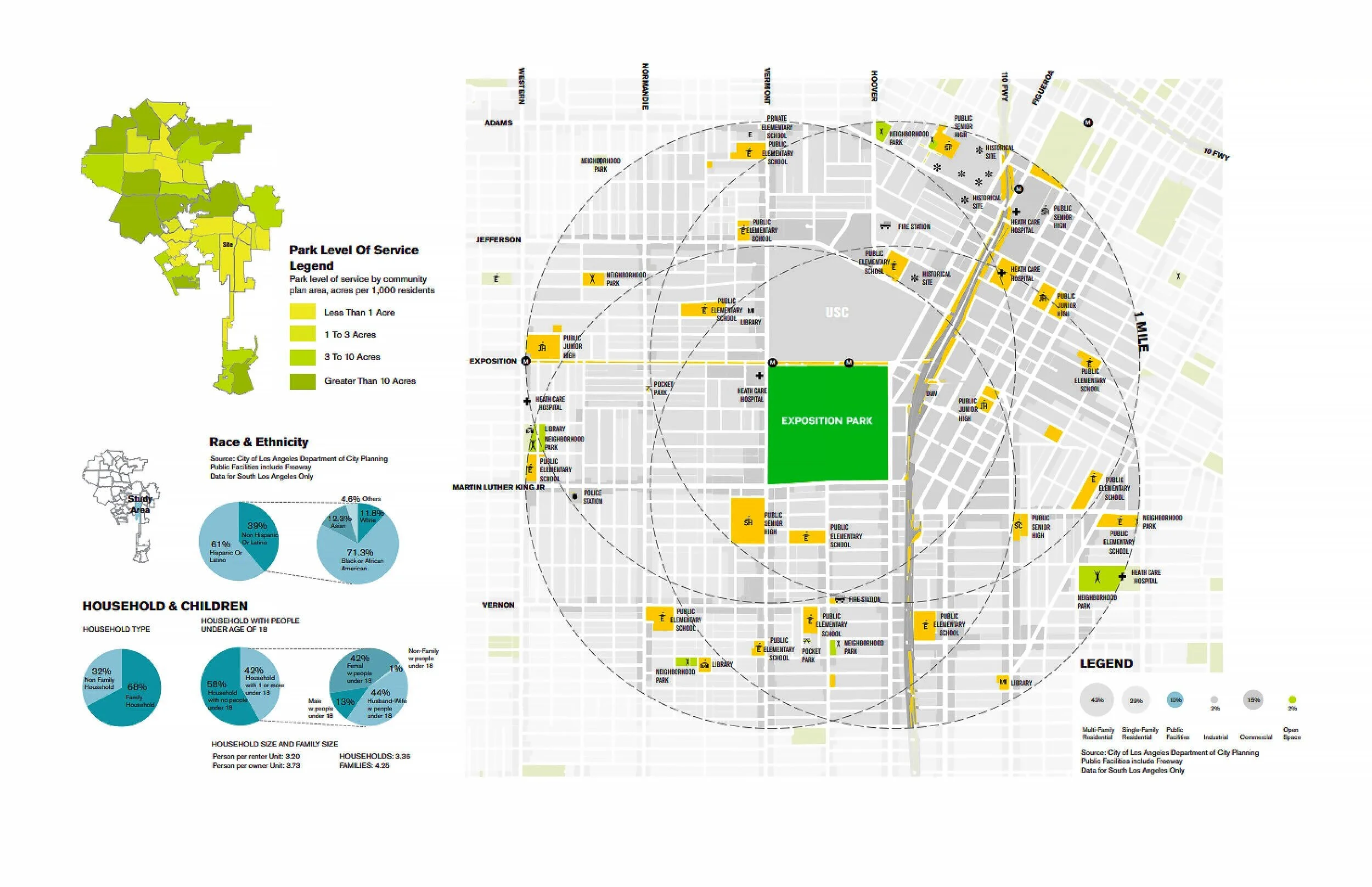
Exposition Park Demographics
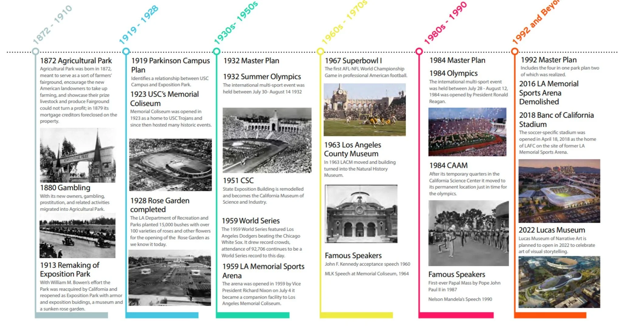
Exposition Park History/Timeline
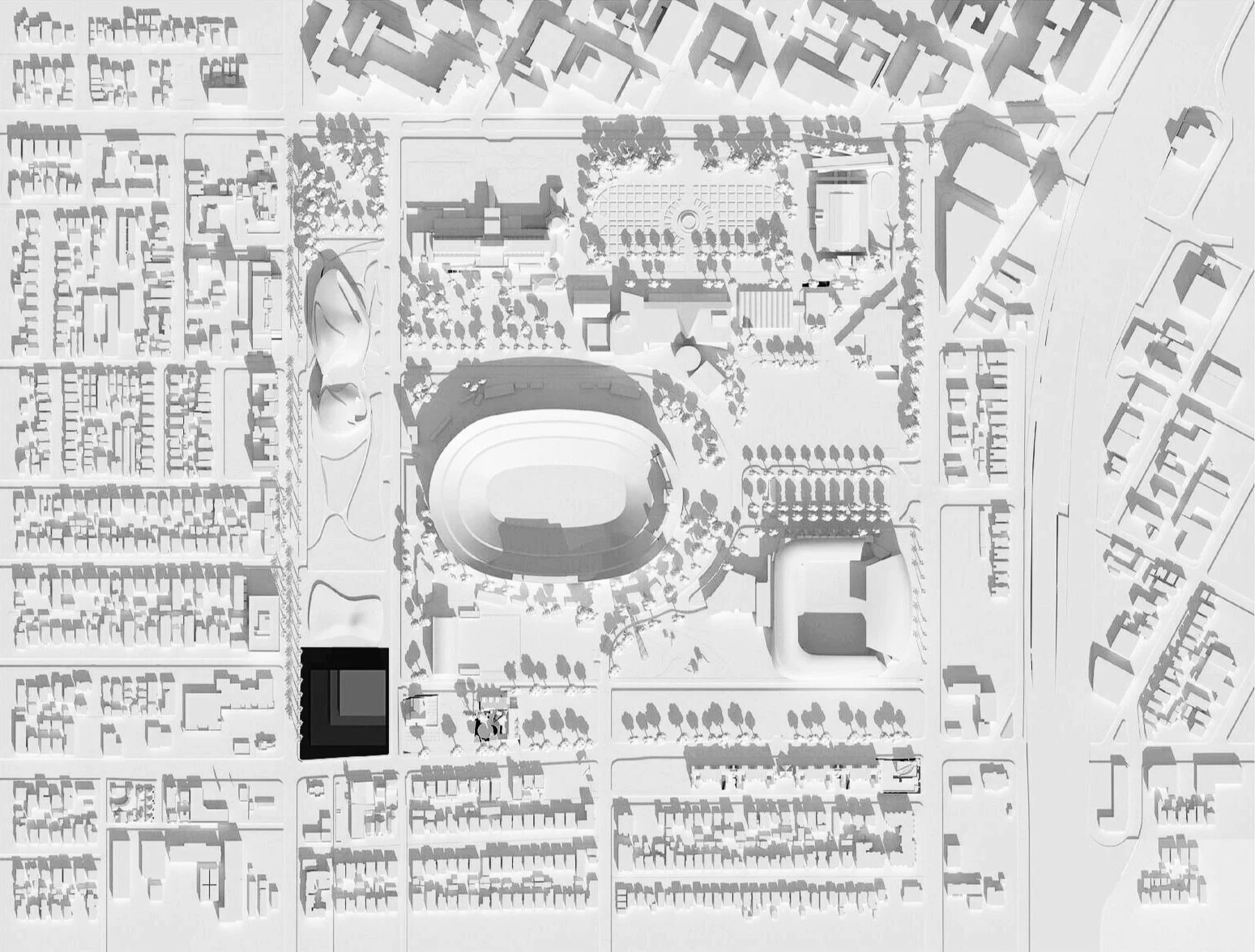
Exposition Park Massing Model
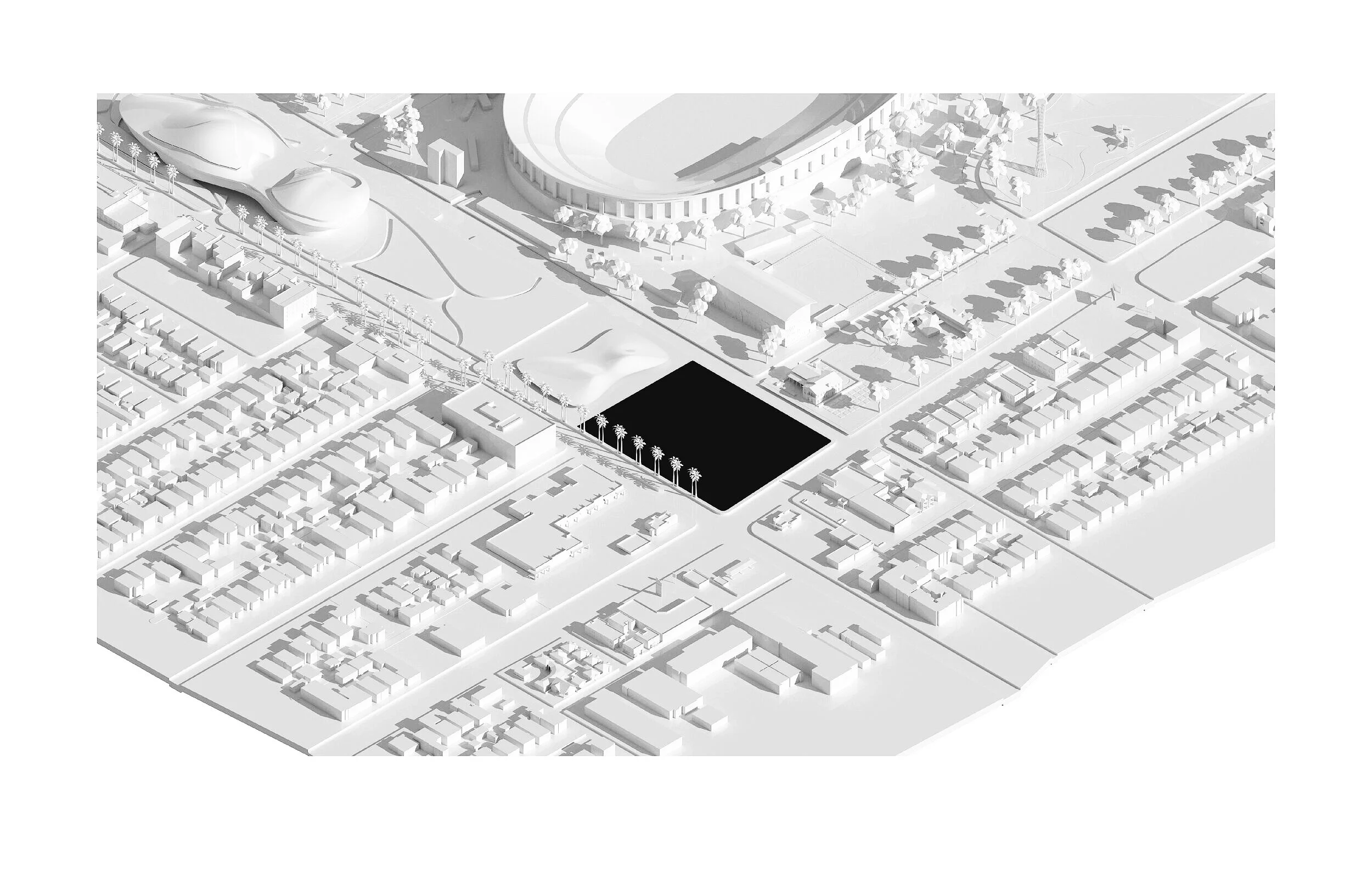
Exposition Park Site Development Location
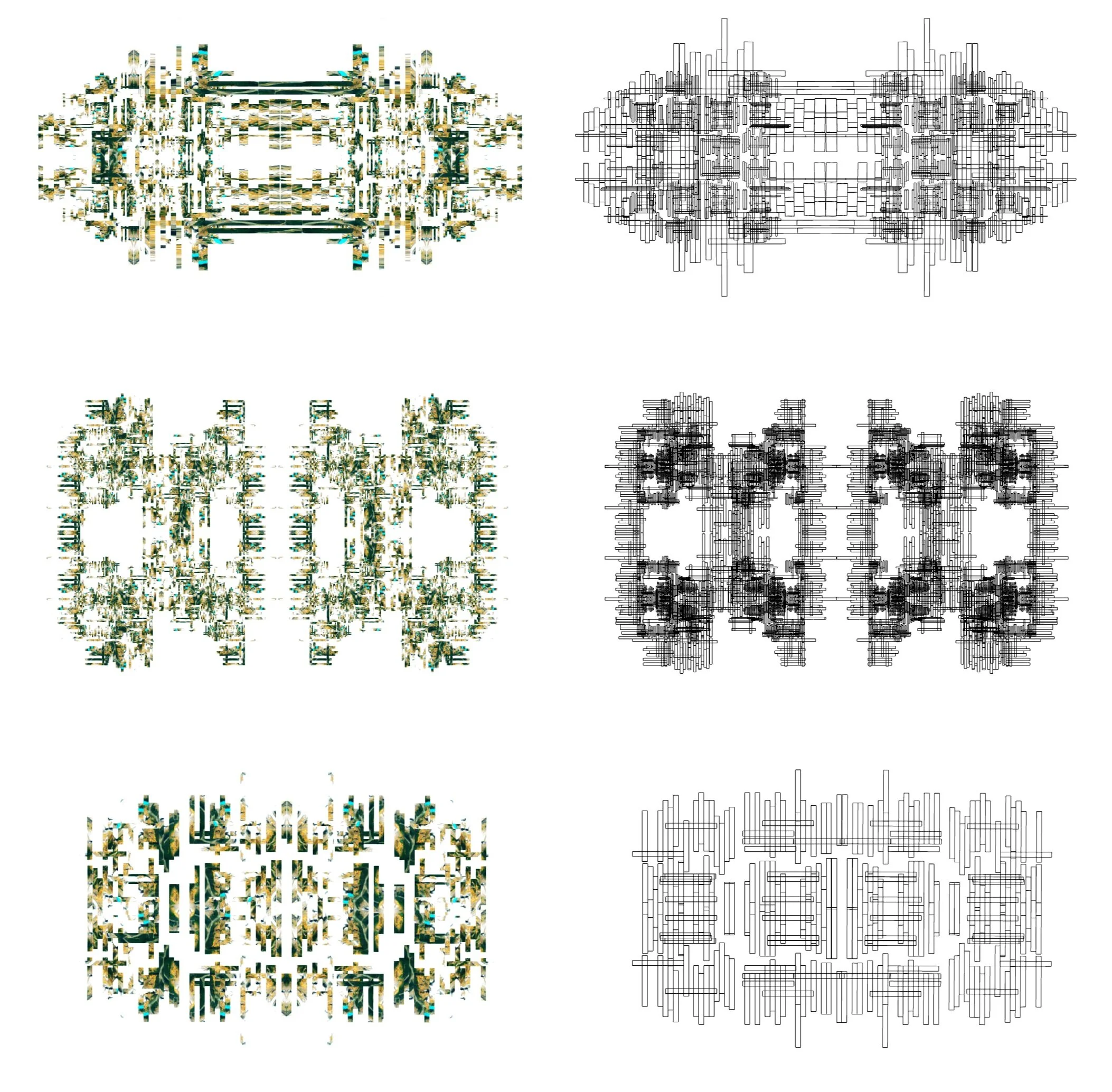
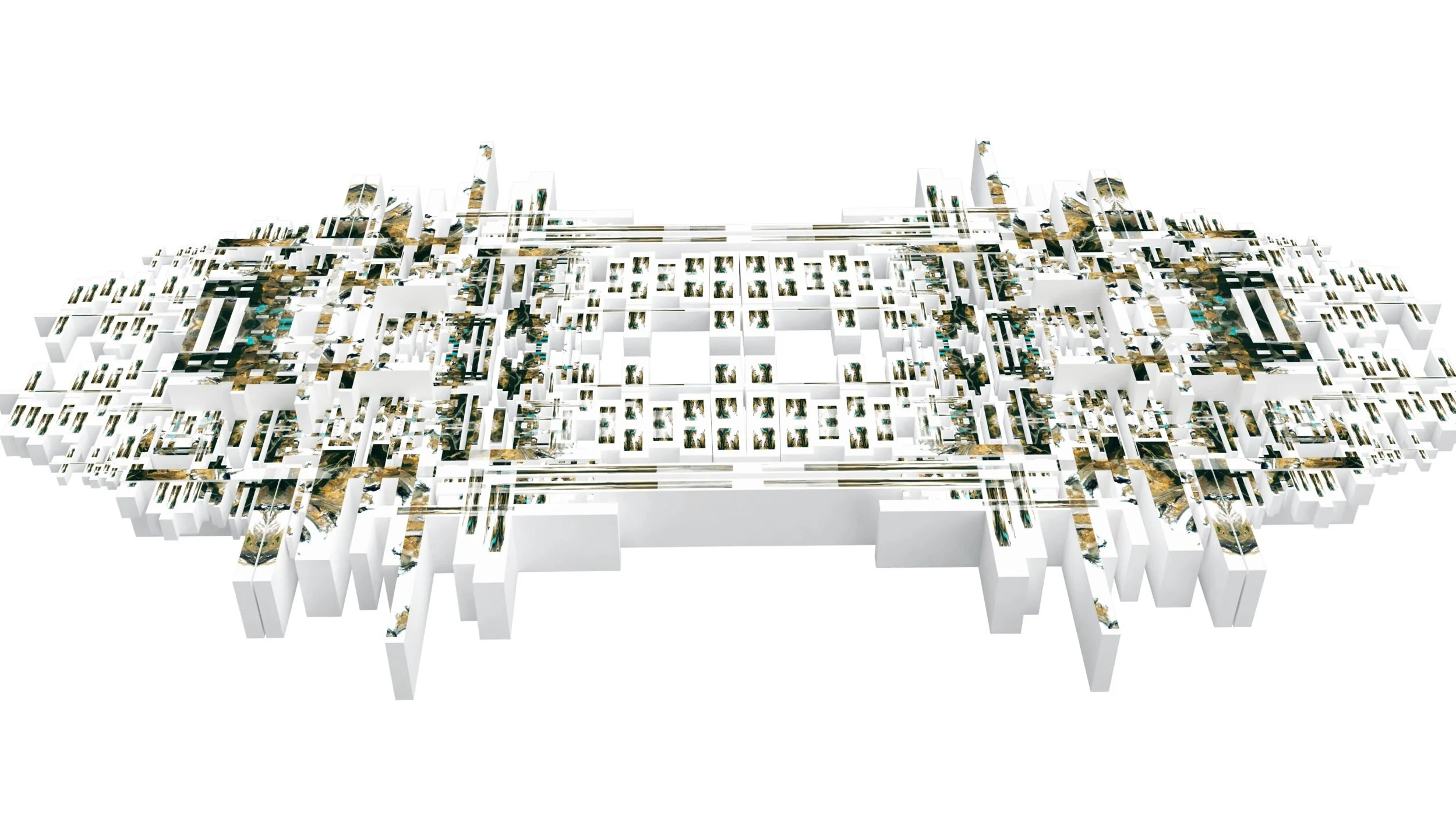
Parti Diagrams + Massing Models
Multiple approaches to site strategy considered through an analysis of Exposition Park and surrounding area.
Duality
Site Parti Diagram / Strategy 1
Quatrain
Site Parti Diagram / Strategy 2
Equilibrium
Site Parti Diagram / Strategy 3
Strategy 1 Massing Model

Strategy 2 Massing Model

Strategy 3 Massing Model
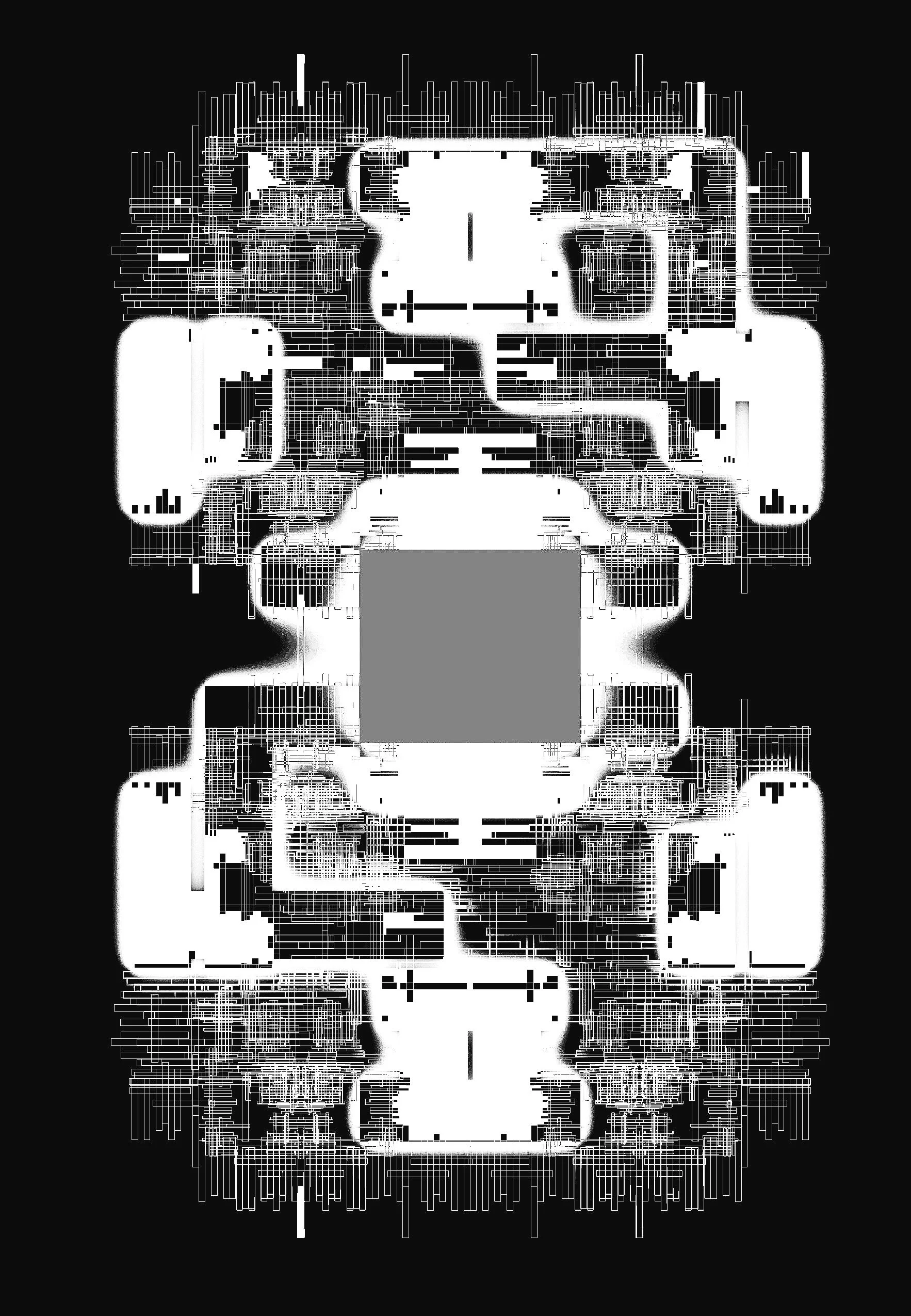
Delineating Musical Massing from Gridded Networks
In developing a Music School for the Harmony Project in Los Angeles, masses are erected and explored through intersecting webbed networks.

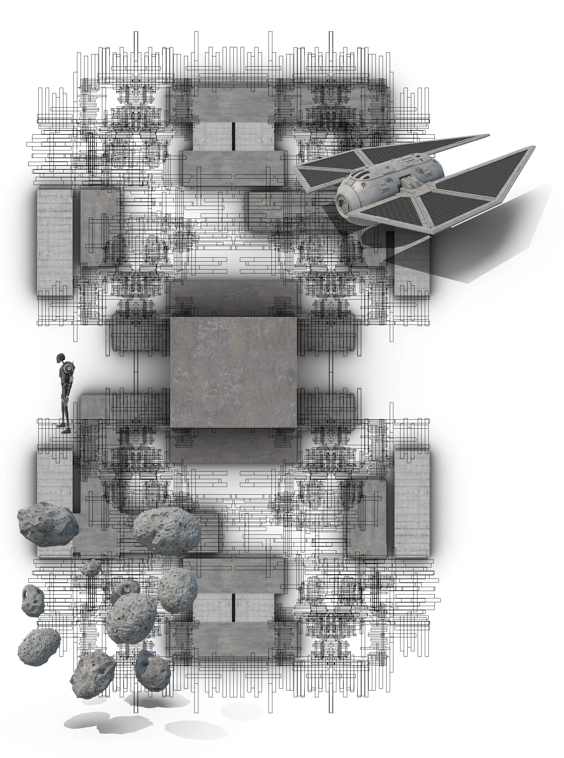
Developing a skin of Concrete to House the musical endeavors of the Harmony Project.
Massings intersect with 3D linear network beginning to form a rhythmic language for an avant-garde music program.